

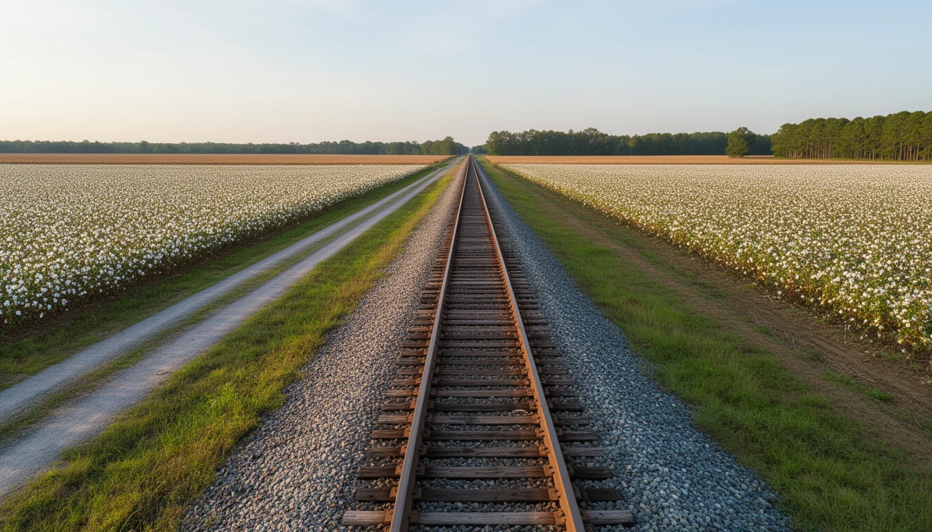
Drive west out of Williamston on US 64 Alternate and the land goes flat and wide, cotton and peanuts on both sides, ditches running in straight lines to the tree line. Somewhere past Everetts the road crosses a single set of tracks, and that crossing explains most of what you see for the next fifteen miles.
Martin County had two transportation systems, about a century apart. The Roanoke River came first, and Williamston, Hamilton, and Jamesville grew up on the water. Then came the railroad, and Robersonville, Parmele, and Everetts grew up on the rails. The five towns below sit in that overlap, and each one still carries the shape of whichever system built it.
1. Robersonville: the first town that did not need the river
Robersonville sits directly on the old line between Williamston and Tarboro, and it holds a specific distinction in county history: it is the first town in Martin County that depended on the railroad rather than the Roanoke as its commercial link to the outside world. The town was named for Henry, William, and George Roberson, and Henry D. Roberson served as a director, a stockholder, and one of the foremost promoters of the railroad that ran from Williamston to Tarboro. The line changed names more than once, from the Williamston and Tarboro to the Seaboard and Raleigh to the Albemarle and Raleigh, before it ended up part of the Atlantic Coast Line system.
When the rails were finished in October 1882, Robersonville filled in fast. By 1884 it had eleven general stores, two physicians, and a number of industries, and within about a dozen years the population had grown to roughly 400 as farm families moved in for the schools, the stores, and the work. The town installed water and sewage in 1924, which is why parts of it are on town utilities today while land a few miles out is not.
What is left is a compact grid of houses a few blocks off US 64 Alternate. The old Primitive Baptist church in town now houses the St. James Place Museum, and the 3/8-mile East Carolina Motor Speedway sits west of town on the old highway. The US 64 bypass replaced the railroad as the town’s main link to everywhere else, and the traffic that once filled those storefronts went with it.
2. Everetts: the smallest stop on the line
Everetts started as a rural crossroads named for Simon Peter Everett, the area’s principal landowner. In 1869 he deeded land to the Williamston and Tarboro Railroad Company so the line could be built through it. The town was incorporated in February 1891, and after the rail line was completed in October 1882, Everetts turned into a market town. Cotton, corn, grapes, potatoes, and eventually peanuts moved through here, and the place served as a trading center for the Cross Roads and Poplar Point townships, with mail, passengers, freight, and a telegraph line all running on the railroad.
Today Everetts is about half a square mile in the middle of farmland, seven miles west of Williamston and four miles east of Robersonville on US 64 Alternate. Its block-long commercial section still holds the J.T. Barnhill Building with its painted wall sign, along with the former Champion Automobile Building, erected in 1919, which sold Champion, Star, Essex, and Hudson cars before the business closed in 1930. The post office has been operating here since 1884.
3. Parmele: the junction
Parmele did not exist before the railroad. The Wilmington and Weldon Railroad began construction around 1890 to extend its north-south line down through Martin County near the Parmele-Eccleston Lumber mill, and the tract of land that grew up around the Albemarle and Raleigh Railroad developed so quickly that the General Assembly incorporated it as the town of Parmele on February 14, 1893. It was named for E. A. Parmele, who owned the lumber mill.
In 1895 a third line was extended from Parmele southeast to Washington, which made the town a junction of railroad lines leading in five directions. By 1896 it had two lumber mills, ten general stores, one confectionery, and about 200 residents. Then the timber played out, and on April 1, 1904, a fire took much of the business section along the tracks.
What came next was an education story. In the 1910s Dr. William C. Chance directed an industrial institute for African-American children that taught academics alongside agricultural, mechanical, and home-making skills. It merged with the town’s public school, moved into the first brick school building erected for either race in Martin County, and eventually occupied a six-building campus with a regional reputation. A fire destroyed the main structure in 1954.
Parmele sits fifteen miles west of Williamston and fifteen miles east of Tarboro. The whole town fits inside a couple of minutes of driving.
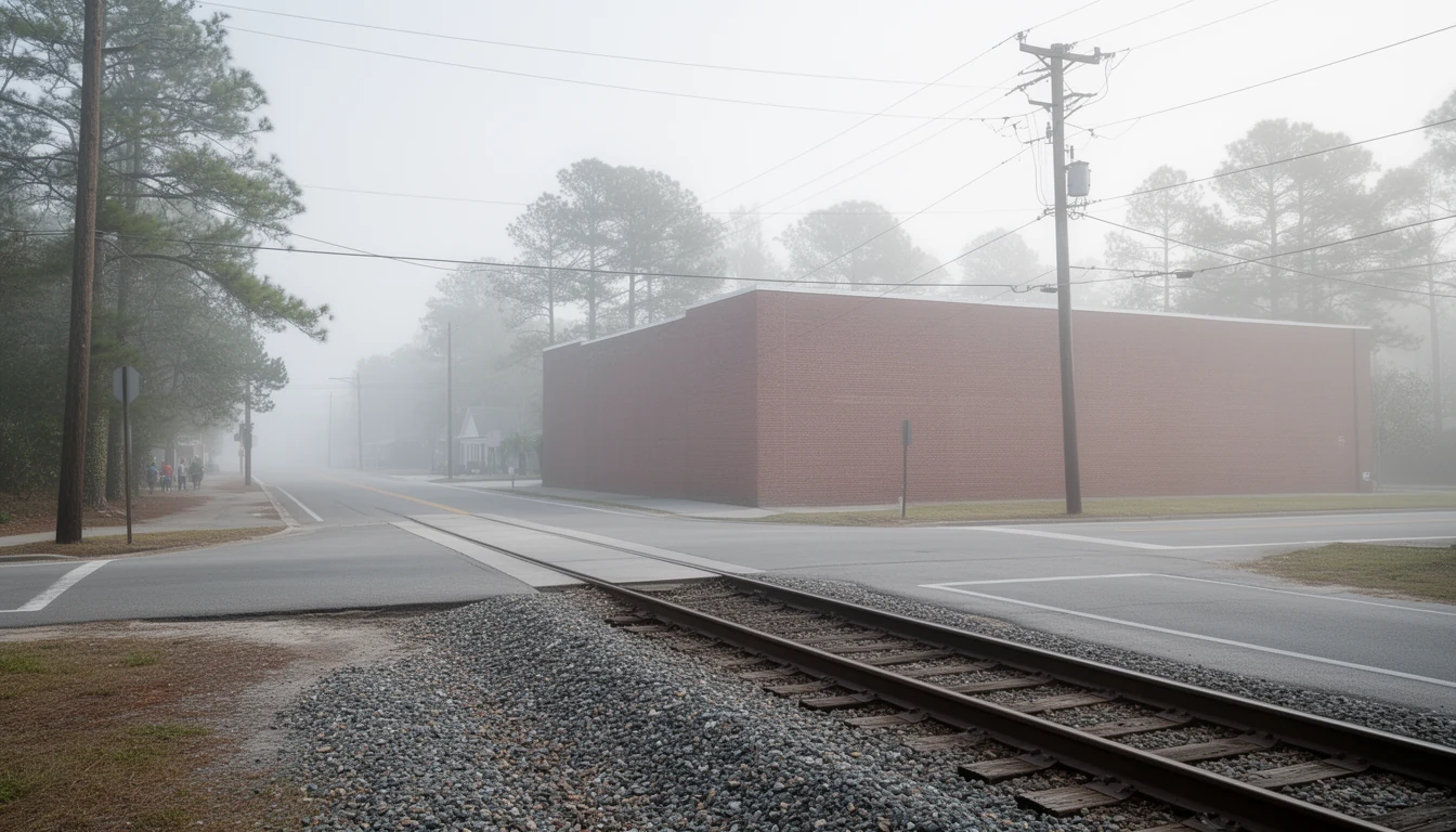
4. Williamston: where the river met the rails
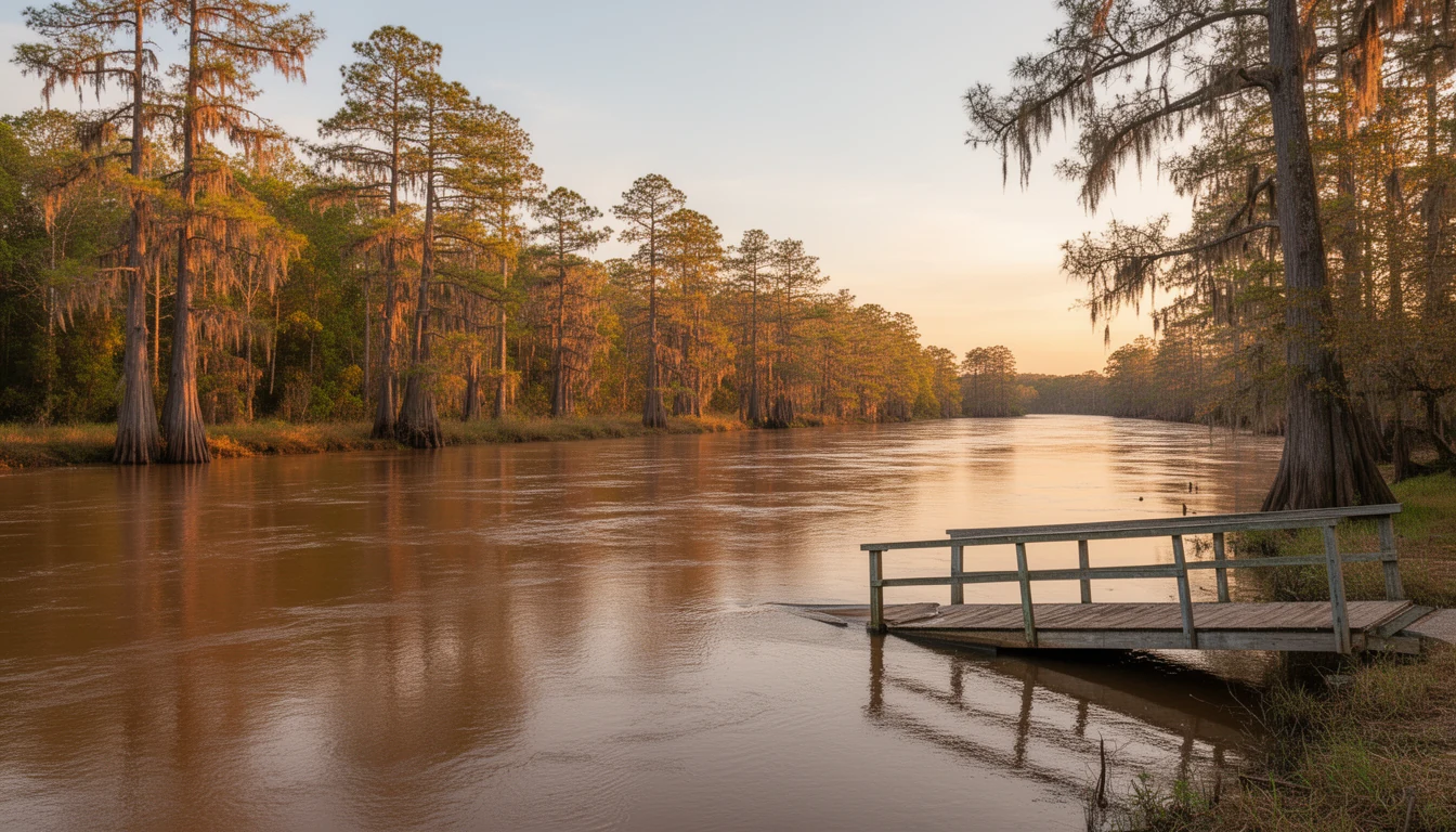
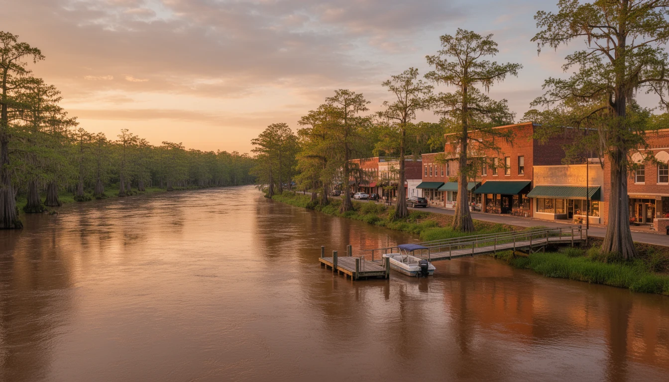
Williamston is the county seat, founded in 1779 and named for William Williams, a local commander during the American Revolution. It was a river town first. The Roanoke runs along the northern edge of town and doubles as the Bertie County line, and the place was known as Tar Landing because of the naval stores shipped off its banks. The rails arrived in 1882, when the Albemarle and Raleigh line was completed between Williamston and Tarboro, and the two systems together are the reason it became the county’s trade center.
It is still the only one of these five towns with a real commercial core. US 13, US 17, and US 64 all meet here. Tarboro is 30 miles west, Plymouth is 20 miles east, Washington is 22 miles south, and Greenville is 35 miles southwest by US 13.
It is also where the trade-off shows sharpest. Martin General Hospital suspended operations in August 2023, so a drive to Greenville or Washington for medical care is now part of living here rather than an occasional errand, and the town’s population has drifted down from a 1960 peak of 6,924 to about 5,248 in 2020.
5. Hamilton: the river port with its own short line
Hamilton was founded in 1804 at the highest point of navigation on the Roanoke River, which is the whole reason it exists. Cargo came upriver, stopped, and got loaded onto wagons. Its first railroad was not a trunk line at all but a lumber road: the Hamilton Railroad and Lumber Company, known locally as Hitch’s Railroad, built in 1887 to move timber. Fort Branch, the Confederate earthwork that guarded the river bend, sits just downriver from town.
Hamilton never became a rail center, and it shows. The town has lost more than half its population since 1980, from 638 that year to 306 in 2020. NC 125 runs twelve miles southeast to Williamston, and NC 903 runs ten miles south to Robersonville. What is left is a Victorian-era river town on a bluff, with a public boat ramp, a fort site, and houses priced well below what the same square footage would cost 30 minutes west in Greenville.
What the old rail map means if you are buying
Three practical things follow from this history, and all three show up at the closing table.
- Utilities change block by block. Robersonville installed water and sewer in 1924 and runs those systems today. In towns this size, one house can be on town water and sewer while the house two streets over is on a well and a septic system. That difference decides your inspection list, your financing, and your monthly budget. Ask for the utility bill, not just the listing remarks.
- The housing stock is old enough that the details matter more than the square footage. Most of what comes up for sale in these five towns was built between the 1920s and the 1970s. Roof age, panel size, wiring type, and the condition of the well and septic system are the real questions, and they are the ones a general inspection is designed to answer.
- Drive time is the other currency. Parmele is fifteen miles from Williamston and fifteen from Tarboro. Hamilton is twelve miles out on a two-lane road. Everetts is seven. Those are short numbers until you are making the trip for groceries, medical care, or a kid’s practice five days a week. The county’s hospital closed in 2023, so the medical trip is planned, not spontaneous.
None of this is a pitch for one town over another. It is the map. The river made the first towns, the railroad made the second set, and the highway decided which ones kept growing. If the shape of one of them appeals to you, that is a good reason to look, and a good reason to check the boring things before you write an offer.